REAR 166 LANCASTER TER
Owner Information
WAX ROBERT M & ELIZABETH P
166 LANCASTER TER
BROOKLINE, MA 02446


Property Details
REAR 166 LANCASTER TER is classified as a Undevelopable Residential Land.
REAR 166 LANCASTER TER is valued at $13,100. The land is valued at $13,100 and the structures are valued at $0.
This property is in Zone S-7. Confirm with local Zoning Board authorities to ensure there are no overlays or other easements on this property.
The most recent deed for REAR 166 LANCASTER TER is recorded at the local registrar in Book 6789, Page 168. REAR 166 LANCASTER TER was last sold on Thursday, September 12, 1985 for $0.
Assessment data from fiscal year 2021.
Flood Data
According to the FEMA National Flood Hazard Layer, this property does not appear to be in a flood zone. It may also be in an area not yet reviewed. Nonetheless, confirm this information prior to taking any action.
To view the flood hazards around this property, create a FEMA "Firmette" Map of the area around REAR 166 LANCASTER TER.
Broadband Internet Providers
| Provider | Type | Bandwidth (mbps) | |
|---|---|---|---|
| VSAT Systems, LLC. | Satellite | 2 | 1 |
| HughesNet | Satellite | 25 | 3 |
| Crown Castle Fiber | Fiber | 0 | 0 |
| Viasat Inc | Satellite | 100 | 3 |
| Verizon New England Inc. | DSL | 15 | 1 |
| Comcast | Cable | 1000 | 35 |
| RCN | Cable | 500 | 20 |
| RCN | Cable | 1000 | 20 |
| Starry, Inc. | Fixed Wireless | 200 | 200 |
| netBlazr Inc | Fixed Wireless | 50 | 50 |
| GCI Communication Corp. | Satellite | 0 | 0 |
Broadband service provider data from December 2020.
Adjacent Properties
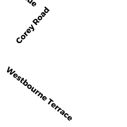
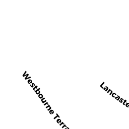
- 127 WESTBOURNE TER 1
Residential Condominium owned by TOORISH MELODY - 127 WESTBOURNE TER 2
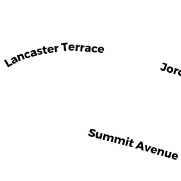
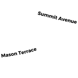
Residential Condominium owned by SHAINHOUSE AVRAHAM Y - 256 SUMMIT AVE
Single Family Residential owned by FREEMAN TRS ROY L & SUSAN W - 248 SUMMIT AVE
Single Family Residential owned by MACDONALD BRADLEY S & BARBARA - 244 SUMMIT AVE
Single Family Residential owned by ZIERK THOMAS W & MARSHA K - 166 LANCASTER TER
Single Family Residential owned by WAX ROBERT M & ELIZABETH P - 160 LANCASTER TER
Single Family Residential owned by FUNG VICKI CHIAO ERH - 252 SUMMIT AVE
Single Family Residential owned by SHATZ MICHAEL P & LISA